Experimental build
This GNOSIS Map Server runs an experimental development version testing out our proposed extensions to existing OGC services as well as new open web mapping standards.
This GNOSIS Map Server runs an experimental development version testing out our proposed extensions to existing OGC services as well as new open web mapping standards.
Services
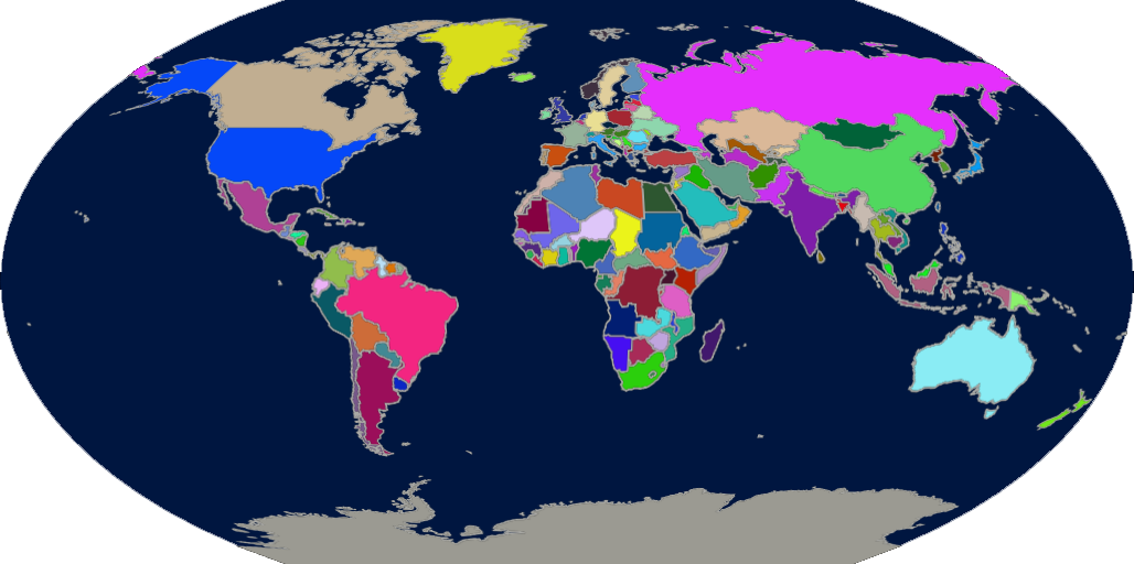
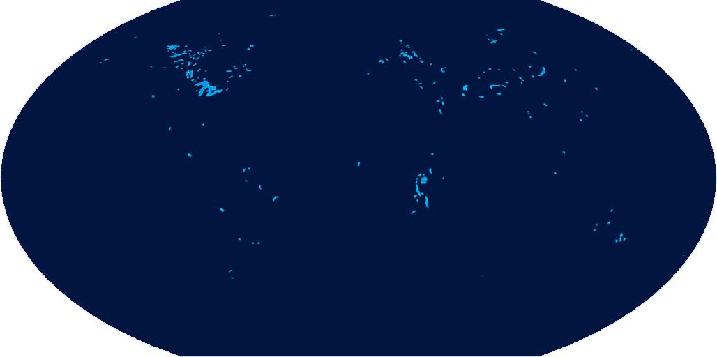
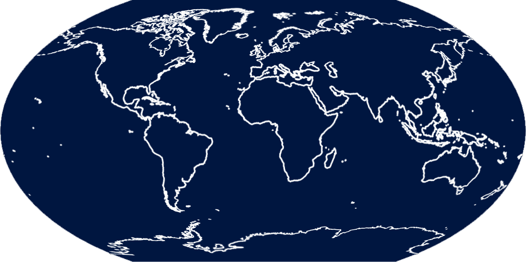
Now with support for GNOSIS Map Tiles (binary) (&OUTPUTFORMAT=gmt), GeoECON (&OUTPUTFORMAT=econ) and GeoJSON (&OUTPUTFORMAT=json) support. All services now support both GNOSIS Map Tiles, GML, GeoECON and GeoJSON LayersNatural Earth (1:10,000,000)
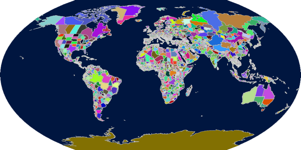
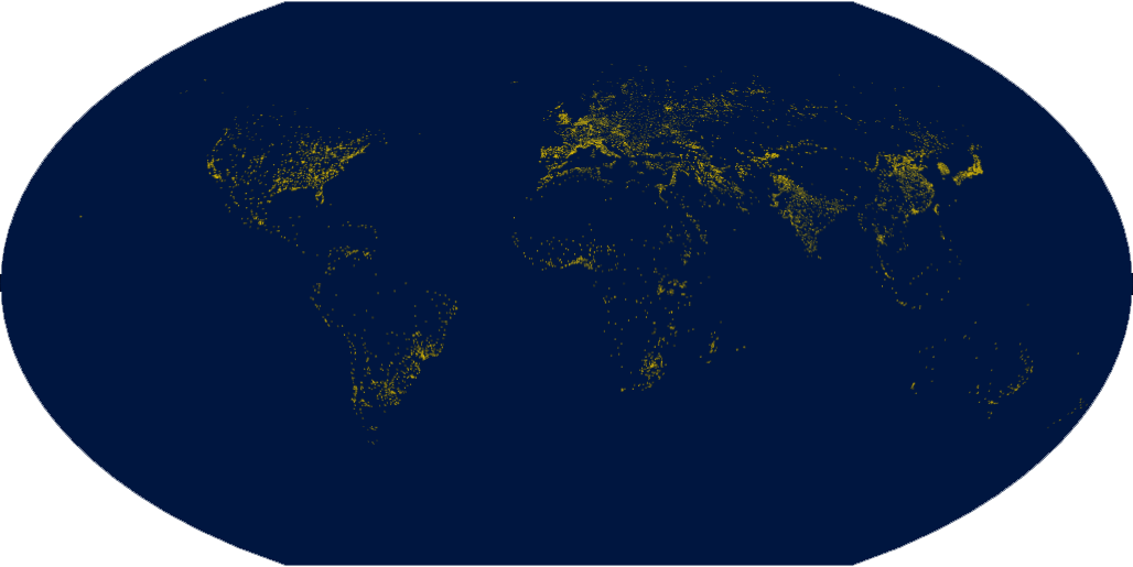
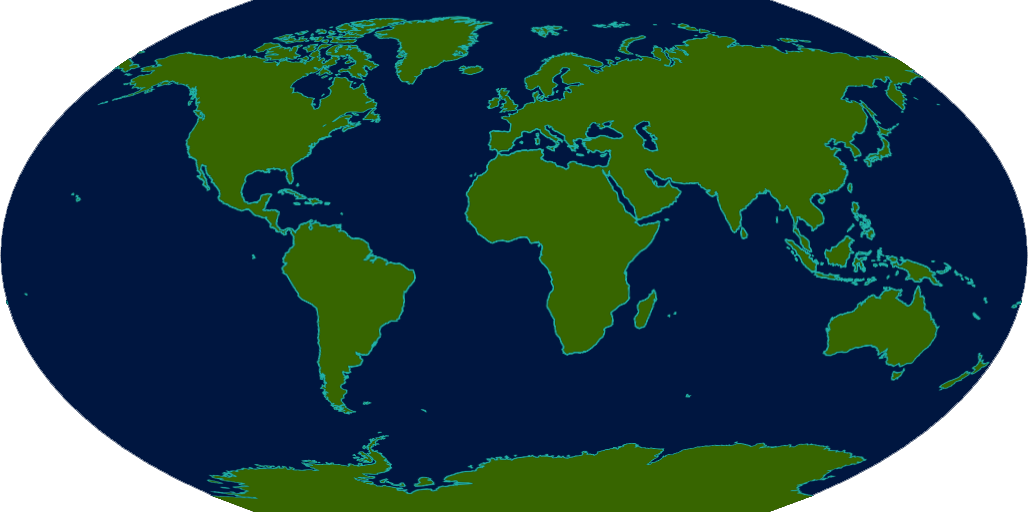
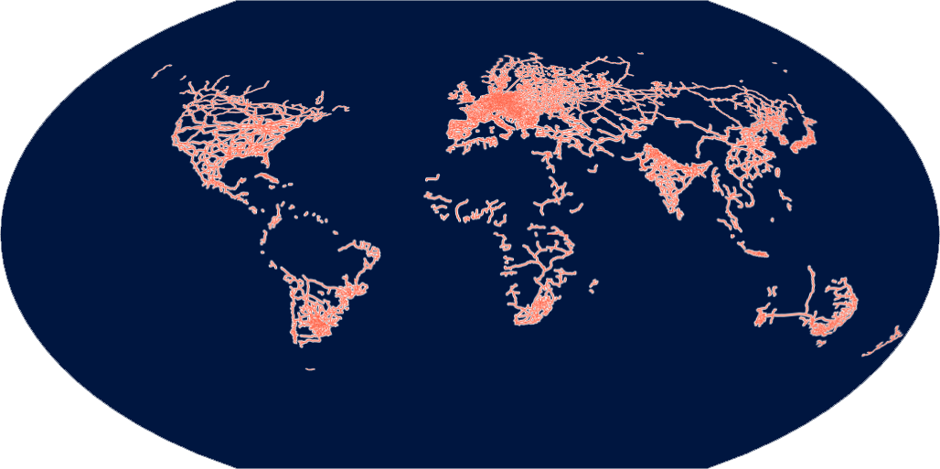
Ordnance Survey OpenMap Local (1:10,000)Building (SLD styles) ElectricityTransmissionLine (SLD styles) ImportantBuilding (SLD styles) SurfaceWater_Area (SLD styles) SurfaceWater_Line (SLD styles) Other vector data sources (coming soon to this GNOSIS Map Server)OpenStreetMapImagery data sources (to be served through WMTS and unified map service)Blue Marble Next GenerationISO 19115 metadata: (XML) (ECON) (JSON) LANDSAT-8 Elevation data sources (to be served through WMTS and unified map service)SRTM / Viewfinder Panoramas |